
Vacaville Neighbor Sources
A block lookup needs a source map before a name. Solano County GIS and the Vacaville Citywide Basemap show parcel geometry, site addresses, structures, and districts, but not owner names. Property entry starts with an APN or street address. The recorder then ties parties, document types, and dates to names or parcels.
| Source | What It Shows About a Block | Access |
|---|---|---|
| Solano GIS and Citywide Basemap | Adjacent APNs, situs, structures, and district layers | Free map; click, select, export |
| Solano property information | APN and address record; owner-name display unverified | Free entry; no login |
| Official records index | Parties, document classes, dates, and APN-linked metadata | Free index; no street search |
| eTRAKiT projects | Project/site address, APN, contacts, status, chronology | Free project search |
| Neighborhood association program | Boundary and participation route; no member roster | City page and contact |
| Smythe 1950 directory | City, Elmira, rural, church, and organization lists | Vacaville Heritage Council archive |
These layers answer different questions about Vacaville neighbors. An APN identifies an assessment unit, not a household. A deed identifies parties to an instrument, not everyone who uses the parcel. A project contact is tied to a date, and the 1950 directory is historical. VHC reports 5,850 resources, including yearbooks, Reporter OCR, maps, and local documents. A block map should never be mistaken for a live list of people.
Vacaville GIS Around a Block
The city map is for immediate neighbors, not an entire street. Search by street name, click adjacent polygons, or draw a circle, rectangle, polygon, or extent around the address. Parcel and site layers support partial-intersection selection, export, and attribute-table pages of 25, 50, 100, or 1,000 rows.
Block flow: address to APN and situs, APN to adjacent parcels, parcels to separate property or project checks, then a recorded party or dated community clue.
Measurement tools use feet, yards, meters, miles, and acres. A popup can show APN, acreage, subdivision, year built, structure description, zoning, and districts. It does not supply owner names, tax-mail addresses, deed images, or a household count.
For every address on a named road, use the Vacaville street directory handoff. The neighbor lookup stays with the small radius that can be checked parcel by parcel.
Vacaville Neighbors: Situs Versus Tax Mail
Property language can sound more certain than it is. The Solano property information portal accepts one APN or Street Address field. It is free and needs no login, but the county does not advertise a public owner-name search. The city GIS adds geometry, not ownership.
- APN
- An assessor parcel number identifies the assessment unit to follow across maps and recorded documents.
- Situs address
- The situs is the physical location of the land or building. It anchors the map search.
- Tax mailing address
- This is where tax mail goes. It may point to a second place, trust, or manager rather than the parcel.
- Homeowners’ exemption
- A $7,000 assessed-value reduction can support owner occupancy, but it does not identify everyone at the address.
A mailing address can differ from the situs, and neither proves who currently uses the property. Use the parcel number and legal description as stable keys, then label each neighbor clue by source and date.
Vacaville Neighbor Search Steps
A careful block search moves from geography to narrow records. Each step creates a key for the next source and keeps a parcel separate from the people who may use it.
- Enter the address in the county property portal. Copy the APN, situs, and subdivision when shown.
- Open the Citywide Basemap, search the street or site address, and click surrounding polygons. Note each adjacent APN.
- Check each APN in eTRAKiT. Project, site, contacts, status, reviews, and chronology describe dated roles, not all residents.
- Use the Solano records index. Since a street address is not stored, search a party, date, class, or accepted APN/PIN. Save the document number before ordering a copy.
- Compare one independent source, such as a project record, association route, or historical directory. Do not turn an owner or contact into a household claim.
The county’s Good Neighbor Policy can produce a half-mile owner-contact list or map for a qualifying planning applicant at that applicant’s cost. Contact planning@solanocounty.gov or (707) 784-6765. It is not an open radius directory. A California Public Records Act request targets existing records; it does not require a new block roster.
Vacaville Neighbor Parcel Clues
The Citywide Basemap has several search paths, but none is an owner or ZIP search. These fields show how the map narrows a block.
| Site Address Search, FULLADDR | Optional text, nonexact match; up to 15 suggestions and 6 results were captured. |
|---|---|
| Place Name, PLACENAME | Optional text, nonexact match; 6 suggestions and 6 results were captured. |
| Parcel Address, siteAddr | Optional text, nonexact match; up to 6 results were captured. |
| Street, FULLNAME | Optional text, nonexact match; up to 6 results were captured. |
| World Address, SingleLine | Optional text, nonexact match; up to 6 results were captured. |
| Parcel APN Search, APN | Optional text, nonexact match; up to 6 results were captured. |
A popup may include APN, government-owned status, acreage, parcel use, subdivision, year built, structure description, site city, state, ZIP, Census ID, zone, floor and garage area, beds, baths, pool, patio, fireplace, values, and district assignments. The map maximum is 1,000 records. It does not show owner, tax-mail, sale, deed-chain, or exemption fields.
Vacaville Records Follow Jurisdiction
A Vacaville postal label does not prove that a parcel is inside the incorporated city. City limits, the Urban Growth Boundary, Sphere of Influence, parcels, streets, and districts are separate layers in the Vacaville General Plan map service.
The Northeast Growth Area covers about 1,400 acres, split between 611 city and 789 unincorporated acres. East of Leisure Town Road covers about 1,317 acres, split between 669 city and 648 unincorporated acres. The city's growth-area planning material explains why annexation can change the public office without changing the mailing label.
North Village and Vanden Meadows are orientation points, not official ZIP boundaries. Development Engineering handles subdivisions, lot-line changes, annexations, easements, and districts, explaining why a modern parcel or street name can differ from a historic record.
Vacaville’s numbering code is another check. Chapter 12.20 uses 100-number blocks with 50 numbers per side; west of West Street numbers run east to west, while east of it they run west to east. North of Sacramento, Callen, or North Streets, they run south to north. Irregular streets can break the pattern. The municipal code and the Clerk’s Official Numbering Map beat a guess based on odd and even numbers.
Note: choose the custodian from parcel jurisdiction, not from the word “Vacaville” in a mailing address.
Vacaville Neighborhood Associations
The city’s Neighborhood Associations program adds a community layer that parcel records cannot provide. The current city page says more than 18 active associations. An older FY 2025/26 report counted 15 registered associations, so the figures differ by date. The current program page is the better guide to present participation.
Association route
Voluntary and free. Open to residents, owners, businesses, stakeholders, and institutions within the association boundary.
City program and map are linked above.
Recognition and contact
Recognition calls for a unique name and purpose, street boundaries or map, a resident chair or co-chair, a membership list, an annual meeting, and registration.
City team: (707) 449-5100
The city page does not publish a member directory. A neighborhood association can show where a block fits, how to join a local civic conversation, or how to reach a public program contact. It cannot confirm every household, and its boundary should not be treated as a parcel line unless the map says so.
Vacaville Voter Data Limits
California My Voter Status is self-authentication, not a public Vacaville neighbor roll. It asks for first and last name, birth date, and California ID digits or the last four Social Security digits. It returns that requester’s registration status and address, party, polling place, ballot status, and election information.
A block-level voter file follows a different law. Candidates, qualified measure committees, and applicants with election, scholarly, journalistic, political, or determined government purposes may apply under Elections Code sections 2187 and 2194. Files can include name, birth date, registration date, residential and mailing address, precinct, contact information, and party. History shows election, date, and method, never choices.
The application requires purpose, beneficiary, geography, security terms, and signed agreements. The state fee is $15 per 1,000 records, with $15 minimum and $100 maximum; a specific voter is $30 each, up to ten and $100. Section 18109 makes unauthorized use a misdemeanor. A private or commercial neighbor search is not an approved shortcut.
Vacaville Neighbor Lookup Safety
The Vacaville Police records request portal is the city route for an existing police record, not a resident list. The Police Department is at 660 Merchant Street; its non-emergency number is (707) 449-5200. A request should identify an incident, date, or agency response, not ask for names near an address.
Read it within its scope. An incident address is not evidence about everyone on the block.
The official Vacaville records request page shows the proper local channel for that narrow purpose.
The image belongs to the city-records layer, while the parcel map belongs to the geography layer. Keeping them separate reduces the risk of treating a public safety record as a list of neighbors.
For a separate state source, the California Megan’s Law registry provides legally disclosable details after its use disclaimer. It warns about mistaken identity and limits use to protecting a person at risk. Results are incomplete and not guaranteed current.
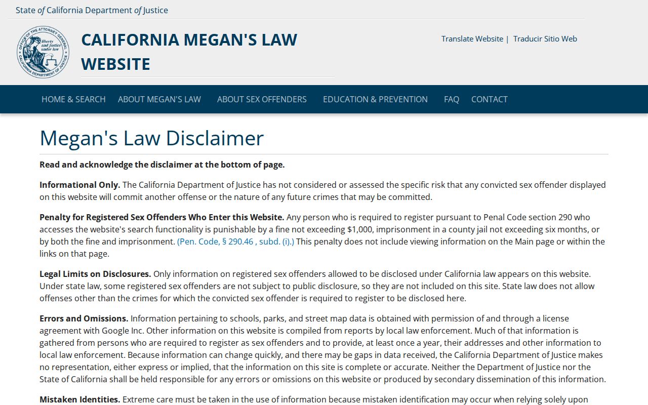
Penal Code section 290.46 includes penalties for harassment or criminal use. Confirm a case or incident through the proper custodian rather than a map result.
Privacy Choices for Vacaville Neighbors
Official sources and commercial neighbor compilations serve different purposes. A compilation may merge names, repeat an old address, or lack a date. Use the public custodian for confirmation.
| Approach | Useful for | Limits |
|---|---|---|
| Official parcel, GIS, and recorder sources | Adjacent parcels, APNs, situs clues, recorded parties | No household list; no recorder street index |
| Neighborhood association route | Boundary, participation, public contact | No member directory verified |
| Commercial neighbor compilations | Possible unverified leads | May be stale, merged, costly, or wrong |
The California consumer privacy guide explains state rights and limits around personal information. It is a privacy source for a Vacaville neighbors search, not a tool for identifying people at adjacent parcels.
The state guidance helps separate a public record's access rule from a private person's expectation that sensitive details remain protected.
CCPA and CPRA, Civil Code section 1798.100 and following, cover access, deletion, correction, sale or sharing opt-out, sensitive-information limits, and equal treatment, subject to exceptions. DROP accepts one verified deletion request from January 1, 2026; the CPPA registry identifies active brokers. From August 1, 2026, brokers must process requests at least every 45 days, subject to matching.
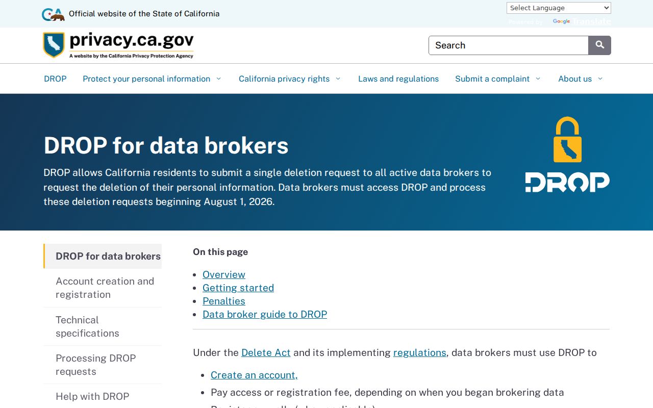
The image points to a state privacy process, not a Vacaville parcel search. Keep confirmation records and use the official program when a deletion request is appropriate.
Safe at Home protects qualifying people with a substitute address, mail forwarding, a service-of-process agent, and confidential voter registration. Eligibility includes people facing domestic violence, stalking, sexual assault, trafficking, child abduction, elder or dependent-adult abuse, or specified threats. Certification lasts four years. Contact (877) 322-5227 or SafeAtHome@sos.ca.gov.
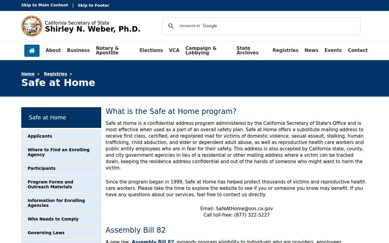
Safe at Home addresses, confidential voter registrations, DMV data, utility data, delivery records, and many household details are privacy boundaries, not gaps to defeat.
Lawful neighbor research. Parcel and community records can support civic curiosity, reconnection, and safety awareness. Penal Code section 646.9 and Code of Civil Procedure section 527.6 address stalking and harassment. Do not use a Vacaville neighbor lookup to watch, threaten, or harm anyone.